


aqualab scientific
Aqualab Scientific is a leading supplier of environmental monitoring instruments to Australia and New Zealand. At Aqualab, we understand that our customers have an extremely important responsibility to protect and manage Australia ‘s water resources.
ABOUT AQUALAB SCIENTIFIC
Our goal is to continue to offer the best technologies and services to provide reliable data that enables customers to make informed water resource decisions.
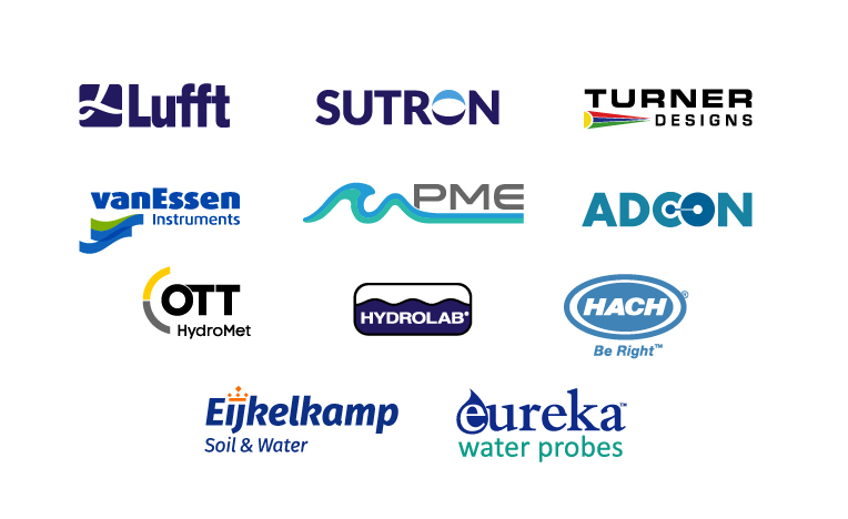
OUR BRANDS
OTT, Hydrolab, ADCON, Sutron, Lufft, vanEssen, Eijkelkamp, Turner Designs, PME, Eureka and Hach for monitoring environmental water quality, water level, discharge, flow, weather and telemetry.
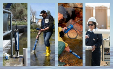
APPLICATIONS
Throughout the environmental water cycle of precipitation, surface water, groundwater, coastal and everything in between, Aqualab Scientific can provide the water quality data you need.
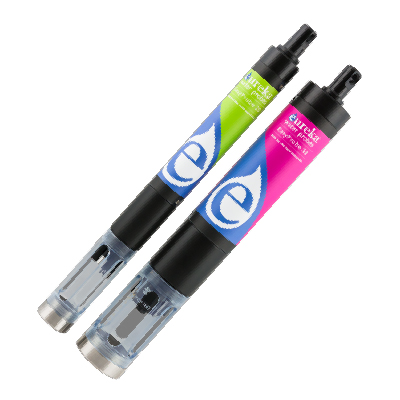
featured products
WHAT’S NEW
Aqualab is pleased to announce a number of new product releases. Be sure to regularly check the What’s New page for all of the latest innovation.
TRADE IN PROGRAM
Trade your old inferior, hard to use, multi-parameter instrument for a brand new Hydrolab or Eureka Water Quality Multiprobe and receive up to 17.5% discount off your purchase order.